


Map from the Urban Archaeological Database
Back to Time Period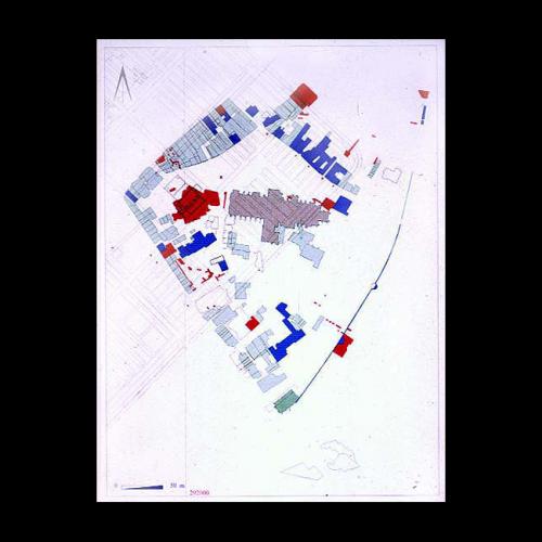
A theme of the last generation has been increasing concern to conserve the remaining elements of the historic core of the city. The compilation of a computer-based urban database mapping all archaeological discoveries in the city and all its early standing buildings has been an important development in this field. In this map the area of the Cathedral Close is shown. The red areas are archaeological excavations; listed buildings are blue. The grid of lines running diagonally across the area marks the positions of the roads and buildings of the underlying Roman legionary fortress.
Acknowledgments: Exeter Archaeology English Heritage