


Plan of Medieval Exeter
Back to Time Period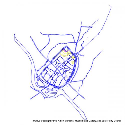
This digitised map was prepared for the Exeter Urban Archaeological Database, compiled by Exeter Archaeology and funded by English Heritage. It forms the most precise record of the exact positions and widths of streets and other features within the old city; it should be used in conjunction with the interpretative map.
The position of the river Exe in the later middle ages, with a wide course to the southwest of the city, is apparent. The yellow features indicate the castle, the dots (top right) indicate the positions of wells at St Sidwells.
Acknowledgments: Exeter Archaeology English Heritage

 indicate the positions of wells at St Sidwells.)