


Map of Exeter of c1851
Back to Time Period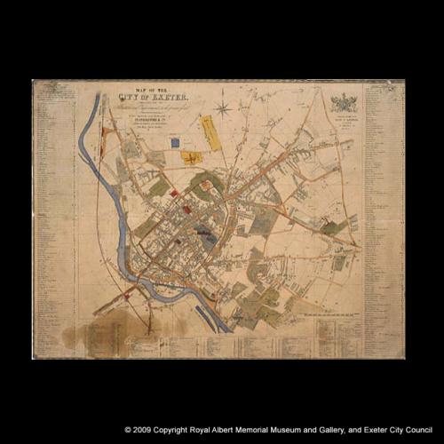
After the rapid expansion of the 1820s and 1830s, Exeter experienced a housing slump in the middle of Victoria's reign, so the city's extent was much as it had been in the 1830s . This map, published and printed by Featherstone and Co. And 'embracing all alterations and improvements', does however show the early stages of growth around the railway at St David's and new public works - the reservoir above Howell Road, the extended county prison, the railway and the station at St Thomas.
Acknowledgments: RAMMuseum