


Plan of Saxon Exeter
Back to Time Period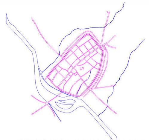
This digitised map was prepared for the Exeter Urban Archaeological Database, compiled by Exeter Archaeology and funded by English Heritage.
The estimated position of the river Exe at this period is shown in blue outline. The re-foundation of a town at Exeter at the end of the 9th century entailed the layout of a new grid of streets and tenement plots within the old Roman walls. The old Roman layout within the walls had been lost by this time; the new Saxon streets survive in large part today.
Acknowledgments: Exeter CityCouncil English Heritage